- Home
- Airborne Imaging System
Top Airborne Imaging System Manufacturer and Exporter - High-Quality Solutions from China
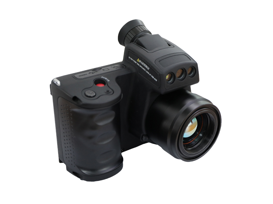
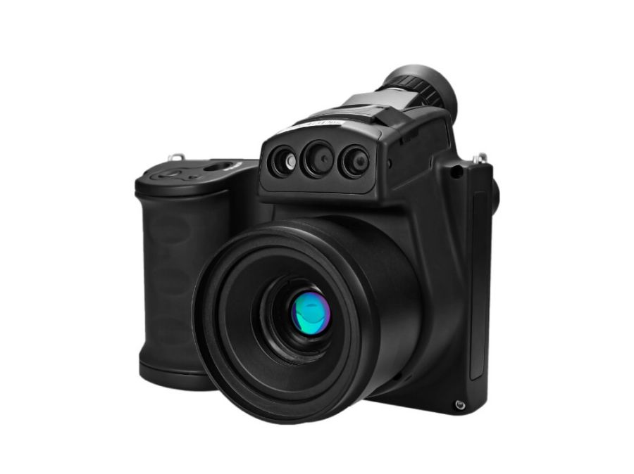
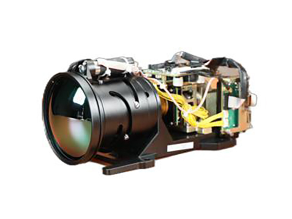
Introducing the state-of-the-art Airborne Imaging System brought to you by Beijing Radifeel Technology Co., Ltd. As a leading wholesale manufacturer, supplier, and factory in the industry, we are proud to present this cutting-edge solution designed to revolutionize aerial imaging capabilities.
Our Airborne Imaging System offers unparalleled precision and versatility, allowing for high-resolution imaging from a bird's eye view. With advanced features, such as advanced stabilization technology and real-time image processing, this system delivers exceptional clarity and accuracy, ensuring every detail is captured with utmost precision.
Equipped with advanced sensors and a robust data processing unit, our Airborne Imaging System is ideal for a wide range of applications including surveying, mapping, infrastructure inspection, and environmental monitoring. Its lightweight and compact design, combined with user-friendly controls, make it easy to deploy and operate in various environments.
Partnering with Beijing Radifeel Technology Co., Ltd., you can trust in our commitment to delivering innovative solutions that exceed expectations. With our extensive expertise and dedication to customer satisfaction, we strive to provide unparalleled support, ensuring your success in utilizing the Airborne Imaging System for various applications. Explore the possibilities and experience a new level of imaging excellence with our cutting-edge solution.
Beijing Radifeel Technology Co., Ltd.

Company News
Related News
Radifeel OUTDOOR Night Vision Goggles RNV 100
Shop the Radifeel OUTDOOR Night Vision Goggles RNV 100 factory-direct. Enhance your outdoor adventures with advanced night vision capabilities.
Radifeel RFT384 Temp Detection Thermal Imager
Radifeel RFT384 Temp Detection Thermal Imager - Factory direct. High-quality thermal imaging technology for accurate temperature detection. Shop now!
Radifeel RFT640 Temp Detection Thermal Imager
Explore the Radifeel RFT640 Temp Detection Thermal Imager, a cutting-edge factory-made product. Accurate, efficient, and reliable, this thermal imager is designed for temperature detection with advanced features. Trust our factory for exceptional quality.
Radifeel RF630 IR VOCs OGI Camera
Get accurate VOCs detection with the Radifeel RF630 IR VOCs OGI Camera. As a factory, we offer reliable, high-quality products for efficient industrial emissions monitoring.
Radifeel Digital low light Rifle Scope D05-1
Discover the power of the Radifeel Digital low light Rifle Scope D05-1. As a factory direct provider, we offer precision, quality, and affordability. Order yours now!
Radifeel RFT1024 Temp Detection Thermal Imager
Shop the Radifeel RFT1024 Temp Detection Thermal Imager at our factory. Get accurate temperature readings quickly and efficiently. Shop now!
Radifeel 6km Eye-safe Laser Rangefinder
Get accurate measurements with the Radifeel 6km Eye-safe Laser Rangefinder. As a factory, we offer this high-quality product for precise distance calculations.
Radifeel 3km Eye-safe Laser Rangefinder
Shop our factory-direct Radifeel 3km Eye-safe Laser Rangefinder with accuracy and precision. Get reliable distance measurements for outdoor activities.
Radifeel Cooled Thermal Camera RFMC-615
Shop the Radifeel Cooled Thermal Camera RFMC-615 at our factory. Superior quality and precise temperature measurements for optimal thermal imaging.
Radifeel Thermal Security Camera 360°Infrared Panoramic Camera Wide Area Surveillance Solution Xscout-CP120X
Radifeel Thermal Security Camera 360°Infrared Panoramic Camera is a wide area surveillance solution designed for utmost security. As a factory, we offer impeccable quality and cutting-edge technology. Enhance your surveillance capabilities with our Xscout-CP120X camera!
Radifeel Cooled Handheld Thermal Binoculars -MHB series
Shop the Radifeel Cooled Handheld Thermal Binoculars - MHB series at our factory for superior quality and cutting-edge technology. Enhance your vision with our premium thermal binoculars.
Radifeel Portable Uncooled OGI camera RF600U for VOCS and SF6
Find reliable Radifeel Portable Uncooled OGI camera RF600U for VOCS and SF6 at our factory. High-quality and efficient equipment for detecting VOCs and SF6 gases.
Radifeel Cooled MWIR Camera 30-300mm F5.5 Continuous Zoom RCTL320B
Shop the Radifeel Cooled MWIR Camera 30-300mm F5.5 Continuous Zoom RCTL320B at our factory. Experience top-notch quality and advanced features for optimal performance.
Radifeel Cooled MWIR Camera 80/240mm Dual FOV F5.5 RCTL240DB
Get precise and versatile imaging with the Radifeel Cooled MWIR Camera 80/240mm Dual FOV F5.5 RCTL240DB. Manufactured by our trusted factory. Shop now!
Radifeel XK-S300 Cooled Electro Optical Tracking System
Experience advanced precision tracking with the Radifeel XK-S300 Cooled Electro Optical Tracking System. Designed and manufactured by our factory for efficient and accurate surveillance.
- Top Manufacturer of Airborne Imaging Systems: Your Trusted OEM Supplier
- Reviews
- Related Videos
Introducing our latest innovation in aerial surveying and mapping technology - the Airborne Imaging System. Designed to revolutionize the way we capture and analyze geospatial data, this cutting-edge system offers unparalleled accuracy and efficiency for a wide range of industries. With its state-of-the-art imaging capabilities, the Airborne Imaging System allows for rapid and high-resolution data collection from an aerial perspective. Equipped with advanced sensors and cameras, it captures detailed imagery and topographic information, providing a comprehensive view of the landscape below. Whether it's for land surveying, environmental monitoring, or infrastructure planning, our system delivers precise and reliable results to support informed decision-making. What sets our Airborne Imaging System apart is its advanced processing capabilities. With powerful software algorithms, the system carefully analyzes the collected data to generate accurate maps, 3D models, and orthophotos. This saves time and resources for our customers, eliminating the need for laborious manual processing and ensuring faster project turnaround times. Additionally, the Airborne Imaging System is designed with versatility in mind. Its lightweight and compact design allow for easy integration onto different aerial platforms, including manned and unmanned aircraft. This flexibility ensures that our system can be deployed in various environments and adapt to diverse project requirements. Furthermore, we understand the importance of data security and ease of use. The Airborne Imaging System features robust data encryption and user-friendly software interfaces, guaranteeing the confidentiality of your information and smooth operation throughout the data collection process. Join the next generation of aerial surveying and mapping with our Airborne Imaging System. Experience the accuracy, efficiency, and versatility that will transform your industry and elevate your projects to new heights.
The Airborne Imaging System is a revolutionary piece of technology that has completely transformed the way aerial imaging is done. With its state-of-the-art features and exceptional performance, this system has become an indispensable tool for various industries. The system is equipped with cutting-edge cameras and sensors that capture high-resolution images with incredible clarity and accuracy. Its advanced stabilization technology ensures that the images obtained are of top-notch quality, even in challenging weather conditions. Moreover, the user-friendly interface and intuitive controls make it easy to operate for both experienced professionals and novices. Whether you are in the field of surveying, mapping, or environmental monitoring, the Airborne Imaging System is a must-have for achieving exceptional results.
The Airborne Imaging System is a game-changer for aerial photography enthusiasts. This state-of-the-art system is built with high-resolution cameras and advanced imaging technology that captures stunning aerial images with exceptional clarity and detail. The system's stability and accuracy make it a perfect choice for professionals in fields such as cartography, forestry, and surveying. I was truly impressed with the user-friendly interface and the ease with which I could control the system. The image quality surpassed my expectations, and the results were breathtaking. The Airborne Imaging System is a must-have for anyone looking to elevate their aerial photography game.
Contact us
Please feel free to give your inquiry in the form below We will reply you in 24 hours


